Probably the largest continuous hiking trail in the local area, Fort Braden is part of the Lake Talquin management area and is comprised of three loops. The west loop is 3.2 miles, the center is 2.6, and the east is 3.2. For the mathematically disinclined, this sums to an even 9 miles. The trailhead starts you at the convergence point of the center and western loops, but to get to the east one you will have to hike. The normal couple-of-dollars-per-car-with-manual-paybox rules apply. There is an equally expansive equestrian trail at this site, and there are points where the the two trails intersect (briefly, but watch out for those droppings).
January 18th, 2010
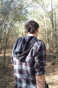
As usual it can be both easy and hard to get here. Drive west on Pensacola until it turns into Blountstown, and wait for Coe Landing on the right. After that there will be some sparse signage and a turn-in to the parking area. More than likely, you’ll see trucks with horse transports attached. You’re in the right place—just pay your fee and drive in. As usual I went with my trusty sidekick Isaac and, as usual, we were in more of a wandering mood than a traveling one. As such, we only covered the west and central loops in the 4 hours we were out there. That just means there’s more to explore the next time. Really, it was such a beautiful day that it was almost impossible to be efficient.
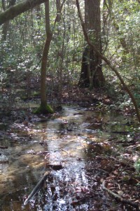
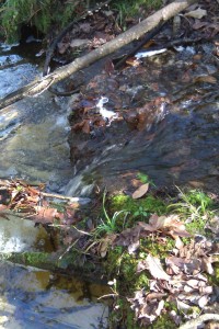
There was some rain the night before, so the ground was kind of mushy. These trails more so than some of the others follow the flow of the water to the lake. A chicken and egg scenario, I believe, as either the water carved the trails, or the trails provided easy passage for water. Perhaps both. In any case, we were doing a lot of detouring around waterlogged ground, and in many places there was simply no way but through. Being Florida, the elevation never really got high enough to be too dry. The trade-off is that there were many interesting water features to be seen.
 |
 |
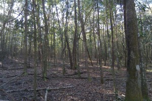
The area looks and feels like most Florida trails. Expect soft ground, and minimal elevation change (though there was a great place where we were 20 or so feet above the lake). For part of the trail you are following water down to the lake, then you're at the lake, and then you return. Extending around the lake is a floodplain, with downed branches and water marks visible on the tree trunks.
The trailhead is at the southernmost point, while the lake sits at the northernmost. The east loop actually extends about 1/3 mile further north than the other two. Once you reach the lake there are some areas to relax, eat lunch, tie your shoes, tie your horse, gaze at the lake, gaze at your horse—whatever you feel like doing.
But about those horses: it is about here that you will start to encounter their trail. From what I remember, the hiking (“Trailwalker”) trails are blazed orange, while the equestrian (“Trailtrotter”) trails are purple. The intersections are blazed pink. Here’s a helpful reminder: “If you see pink, or smell a stink, stop and think.” Consider too that horses can turn a soggy trail into a mud pit. Anyway, the situation isn’t as dire as you might imagine, but I’m just advocating caution to avoid poo-covered shoes.
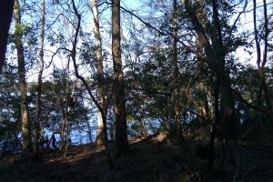
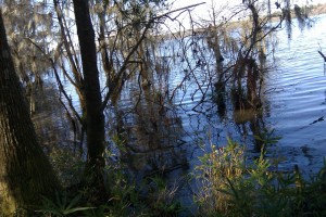
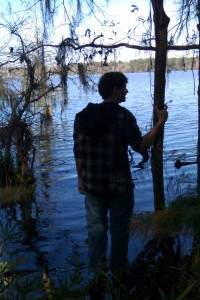
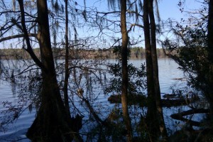
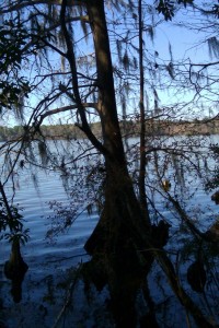
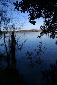
The lake was incredibly blue the day we were there, the clear blue sky being the likely cause. As one might expect, the trees and the general scenery change close to the shore. The trail passes very close to the water, but I like to be closer. Just have to mind the gators. The number of visitors to this blog is on the order of 10 per week, so for now I’ll splurge and provide a bunch of photos for you:
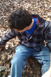
Actually, he’s dry in that last shot. Of course, now that we’re pressed up against the lake’s edge, glamour shots seem like a nice idea. I didn’t color-balance any of these photos; they really show up about as blue as I was seeing things in front of me.
 |
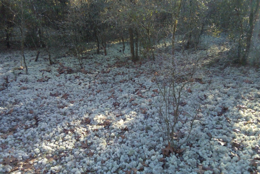
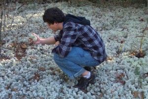
At the points farthest from the lake (that is, nearer to the trailhead), the environment is quite different. Sandy terrain, shrubs, lower tree height, grassy fields, and more. I seem to recall seeing a cactus growing in one spot. Anyway, around this area you can find what Isaac and I have termed “Lichen Dens”. These are patches of ground that are filled with ball lichen. There were a few different species, but predominantly they were Cladina evansii, or “powder-puff lichen”. It also goes by “deer moss” as deer tend to nibble on it. Like most lichen, it ranges from white and brittle when dormant, to green and spongy when active. We saw a few of these patches as we set out on the hike, but just before the loop reconnected on the return we found something incredible…
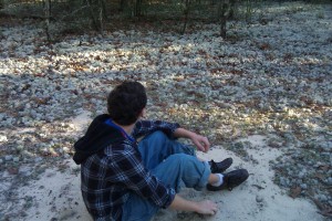
This vast expanse of lichen was spectacular to behold. The photo does it no justice. The scene reminds me of sea urchin colonies at the bottom of the ocean. At one of the edges was a sandy clearing with no lichen, and here you could see hoof prints from deer that came to graze. Supposedly, beds of this size can take decades to grow. As such, we were careful not to trample any as we moved closer.
If you ask me, this one area is worth the entire trip out there.
Rating: 4.8 out of 5
Destinations: D1: Grassy areas in the south. Lots of birds. D2: Rest areas near the lake. D3: Lichen Den!
The point deductions were primarily for the soggy ground, and the uniform elevation. Most unfortunately, an application bug prevented my photos from being properly geotagged. Here’s the location of the trailhead to help you get there. I did manage to record the progress of the hike as a kml file using Google MyTracks. In the future, I plan on compiling a page with all of the maps and recordings that I’ve accumulated, since they are so hard to find online. Lake Talquin Wildlife Management Area is one of the better documented trails in Florida, however.
Ft. Braden is one of the longest trails (perhaps the longest?) in the Tallahassee area, and it’s well worth your time to check it out. The connected loop layout means you can choose for yourself how long you want to be out hiking. There are primitive camp sites here as well, and I definitely intend to utilize them just as soon as the overnight lows aren’t near freezing. If you have horses then this is definitely a trail to consider. As a hiker you can comfortably move around with little-to-no interference from equestrians while on your separate trail. Since Isaac and I only covered the west and central loops, we’ll be going back eventually to trek the east. This time I’ll pick a day that hasn’t seen rain for at least 4 or 5 days. If you don’t require a challenging hike and are just looking to be outdoors for a while, Fort Braden is an excellent choice.
